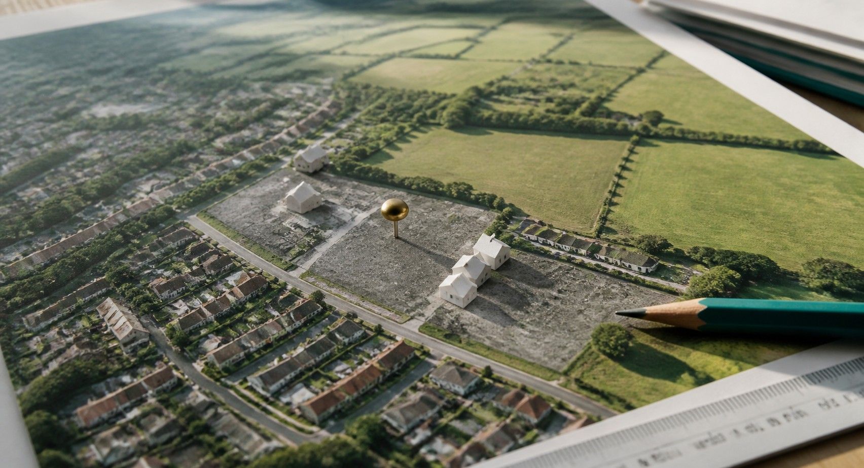
Grey belt is still Green Belt. It is land inside the Green Belt that national policy treats as making a weaker contribution, and in the right circumstances housing on it is no longer "inappropriate development" by definition.
The term arrived in the December 2024 National Planning Policy Framework. On 17 August 2026 the government published a new NPPF that replaced the December 2024 version, renumbered everything into policy codes and changed the grey belt definition. Much of the commentary still quotes the old paragraph numbers.
So what does grey belt mean as of October 2026, and how should a developer find and test a site?
What is grey belt?
Grey belt is Green Belt land that does not strongly contribute to three of the five Green Belt purposes. The glossary in Annex B of the August 2026 NPPF defines it as land in the Green Belt "comprising previously developed land and/or any other land that, in either case, does not strongly contribute to any of purposes (a), (b), or (d) in policy GB2."
Those three purposes are:
- (a) to check the unrestricted sprawl of large built-up areas
- (b) to prevent neighbouring towns merging into one another
- (d) to preserve the setting and special character of historic towns
Purposes (c), safeguarding the countryside from encroachment, and (e), assisting urban regeneration, do not count towards the grey belt test.
What changed between the December 2024 and August 2026 NPPF?
The definition got simpler, and the numbering changed completely:
| ISSUE | DECEMBER 2024 NPPF | AUGUST 2026 NPPF |
|---|---|---|
| Definition reference | Purposes in paragraph 143 | Purposes in policy GB2 |
| Footnote 7 exclusion | Excluded land where protected-area policies (footnote 7) gave a strong reason to refuse or restrict development | Exclusion removed from the definition |
| Grey belt development route | Paragraph 155 | Policy GB7 |
| Golden Rules | Paragraphs 156 and 157 | Policy GB8 |
| Plan-making assessment | Green Belt review | GB2 assessment using the Annex E method, identifying grey belt |
Removing the footnote 7 exclusion widens what can be classified as grey belt. It does not remove those protections. Heritage, habitat and flood policies still apply to the proposal itself.
The removal also settles a live dispute. In Wrotham Parish Council v SSHCLG, decided on 30 January 2026, the High Court dismissed a challenge to an Inspector's decision. The judge held the Inspector was right to apply the footnote 7 test to the proposed development rather than to the land alone. The August 2026 definition takes that question out of the grey belt test altogether.
When is grey belt development not inappropriate?
Under policy GB7(1)(g), development on grey belt land is not inappropriate where four conditions are met:
- No fundamental undermining. The development uses grey belt land and would not fundamentally undermine the purposes of the remaining Green Belt across the plan area.
- Evidenced unmet need. There is a demonstrable unmet need for the type of development.
- Sustainable location. The site is in a sustainable location.
- Golden Rules. Major housing development complies with GB8.
GB7(1)(h) contains a separate route for residential or mixed-use development within reasonable walking distance of a well-connected station, subject to scale and relationship to the station or settlement. That route is distinct from grey belt, although both can be relevant to the same site.
Grey belt makes a site eligible for the test. It does not pass the test for you.
What are the Golden Rules for grey belt?
The Golden Rules in policy GB8 apply to major housing on land released from the Green Belt or permitted on application:
- Affordable housing. The development plan requirement applies. Until a plan sets one, the contribution is 15 percentage points above the highest existing affordable housing requirement, capped at 50%. Where no requirement exists, 50% applies.
- Infrastructure. Necessary improvements to local or national infrastructure.
- Green space. New or improved public green space, so that new residents can reach good quality green space within a short walk of their homes.
Viability assessments that show a scheme cannot comply are allowed only in three cases: previously developed land with costs not accounted for in plan viability, strategic sites, and development of a wholly different type from that tested in the plan. Even then, the maximum possible contribution is expected.
Schemes below the major development threshold do not have to meet the Golden Rules, which matters for two of the appeals below.
How do you identify candidate grey belt land?
Start with land the policy already favours, then test the purposes.
Previously developed land in the Green Belt. GB4 sets a release sequence for plan-making: previously developed land first, then grey belt land that is not previously developed, then other Green Belt land. The NPPF glossary defines previously developed land as lawfully developed land occupied by a permanent structure and its curtilage, including large areas of hardstanding. It excludes land last occupied by agricultural or forestry buildings, and land where the remains have blended into the landscape. Former yards, depots and commercial plots in the Green Belt are the obvious first screen; former farm buildings are not.
Contribution to purposes (a), (b) and (d). Sites enclosed by existing development, away from the edge of a large built-up area, in gaps that do not separate two towns and outside the setting of a historic town are the candidates. Council Green Belt assessments under Annex E assess parcels against these purposes, and they are the first evidence an Inspector will read.
Need and location. Check the authority's housing land supply position and the site's access to public transport and services.
What do recent appeal decisions show?
Appeal decisions under both Frameworks point the same way: small and well-enclosed sites succeed, and the test turns on site specifics.
- Kent, 57 homes and a nursery (APP/H2265/W/24/3346228). Under the December 2024 NPPF, the Inspector found a site enclosed on three sides by development made no strong contribution to sprawl or merger, met the Golden Rules and was sustainably located. Permission was granted.
- South Staffordshire, Green Belt site with heritage harm (APP/C3430/W/25/3363067, 13 November 2025). The Inspector treated grey belt as a land-based assessment and found the site was not grey belt because heritage harm gave a strong reason to restrict development. That reasoning relied on the footnote 7 exclusion that the August 2026 NPPF has since removed.
- West Lancashire, up to four homes (appeal 6010014, 5 October 2026). Under the August 2026 NPPF, permission in principle for up to four homes was allowed. The Inspector found no strong contribution to purposes (a), (b) or (d), a demonstrable unmet need with a 1.86-year housing land supply, and a sustainable location. As minor development, the Golden Rules did not apply, and the council faced a partial costs award.
The lesson for developers is evidential. Each decision turned on a parcel-level reading of the purposes and on the local supply position.
What data do you need to assess a grey belt site?
Four datasets do most of the work:
- Green Belt boundaries. MHCLG publishes Green Belt land on planning.data.gov.uk, compiled from authorities' annual returns. As of October 2026 it holds 181 entities and is described as a snapshot that may not reflect later boundary changes, so confirm against the adopted local plan.
- Planning history. Past permissions establish whether land was lawfully developed, which decides whether it counts as previously developed land. Our guide to the planning data API covers where these records come from.
- Land classification. We ran a land search through the Propalt MCP for the AL4 postcode district in Hertfordshire in October 2026. It returned 72 land records: 36 agricultural, 20 unused and 12 development sites, each with its planning constraint types and planning application count. The records we sampled carried a green_belt constraint flag. Only land with an address record appears, so this is a screen to start from rather than a complete map.
- Ownership. HM Land Registry title data shows who owns the parcel and whether it is held by a company, which shapes the approach. Our guide to checking whether a property is owned by a limited company covers the method.
Add flood zones, heritage designations and habitat sites to every screen. They no longer block grey belt classification, but they still decide whether a proposal is acceptable.
Our guide to conservation area rules covers one of those heritage layers in detail. Once a site passes the screen, our guide to land assembly covers the next question: who you need to deal with to bring the site under control.
📌 KEY TAKEAWAY
Grey belt is Green Belt land that does not strongly contribute to purposes (a), (b) or (d), and the August 2026 NPPF has dropped the footnote 7 exclusion from that definition. Development on it still needs evidenced unmet need, a sustainable location and, for major housing, the Golden Rules in GB8. Appeals reward enclosed, well-evidenced sites, and the first screen is previously developed land inside the Green Belt with its planning history and owner known. To screen land, planning constraints, planning applications and ownership for candidate sites, query them through the propalt.ai API at https://api.propalt.io or the Propalt MCP in Claude and ChatGPT.
SOURCES & DATA REFERENCES
- MHCLG, GOV.UK (17 August 2026, updated 29 September 2026). 'National Planning Policy Framework.' Supports publication date, replacement of the December 2024 version and chapter structure. gov.uk/guidance/national-planning-policy-framework
- MHCLG, GOV.UK (August 2026). 'NPPF Chapter 13: Protecting Green Belt land (GB1 to GB8).' Supports the five purposes, GB4 release sequence, GB7 conditions and station route, GB8 Golden Rules and viability limits. gov.uk/guidance/national-planning-policy-framework-chapter-13-protecting-green-belt-land-gb1-8
- MHCLG, GOV.UK (August 2026). 'NPPF Annex B: Glossary.' Supports the grey belt and previously developed land definitions. gov.uk/guidance/national-planning-policy-framework-annex-b-glossary
- MHCLG, GOV.UK (12 December 2024, amended 7 February 2025). 'National Planning Policy Framework (December 2024).' Supports the earlier paragraph numbering. gov.uk/government/publications/national-planning-policy-framework--2
- Penningtons Manches Cooper (December 2024). 'NPPF revisions regarding the green belt.' Supports the December 2024 definition, protected-area exclusion and paragraphs 155 and 157. penningtonslaw.com/news-publications/latest-news/2024/nppf-revisions-regarding-the-green-belt
- Savills (9 February 2026). 'Land versus proposal: grey belt debate reopened by latest NPPF revisions and High Court decision.' Supports Wrotham Parish Council v SSHCLG and the South Staffordshire appeal (APP/C3430/W/25/3363067). savills.co.uk/blog/article/386973/
- High Court (30 January 2026). 'Wrotham Parish Council v Secretary of State for Housing, Communities and Local Government' [2026] EWHC 165 (Admin), Lieven J. Challenge dismissed; footnote 7 test applied to the proposed development. caselaw.nationalarchives.gov.uk/ewhc/admin/2026/165
- Burges Salmon (26 February 2025). 'Recent appeals give colour to Grey Belt development uncertainty.' Supports the Kent 57-home appeal. burges-salmon.com/articles/102k1yh/
- Planning Geek (6 October 2026). 'Four-home grey belt appeal wins as 1.86-year supply unlocks permission in principle.' Supports the West Lancashire appeal (6010014). planninggeek.co.uk/2026/grey-belt-appeal-permission-in-principle/
- MHCLG, Planning Data (October 2026). 'Green belt dataset.' Supports 181 entities and snapshot caveat. planning.data.gov.uk/dataset/green-belt
- Propalt (October 2026). Land search for the AL4 postcode district, land classes, via the Propalt MCP (search_land_property). Supports the 72, 36, 20 and 12 record counts.