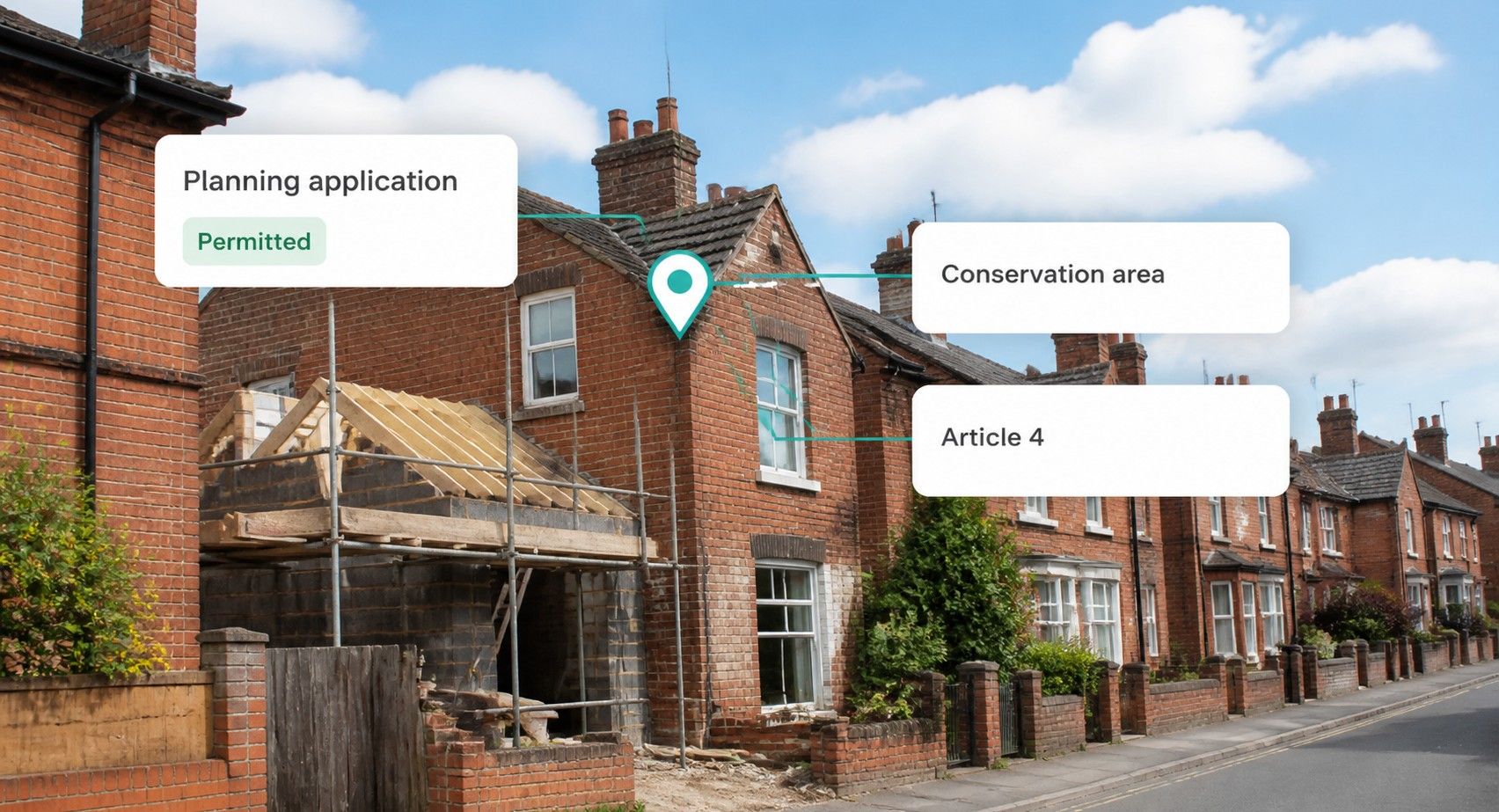
There is no single national register of planning applications in England or Wales. Every local planning authority runs its own portal, with its own reference format, its own status labels and its own search screen. The national platform that does exist, planning.data.gov.uk, publishes 114 datasets as of October 2026, and none of them holds planning application records. A separate planning application dataset page exists with 0 records and is marked "not yet ready for use".
That gap shapes everything a developer builds on top of planning data. Constraints such as conservation areas and Article 4 directions are increasingly available as open, national datasets. Application history still has to be collected council by council.
What does each source give you, and what should a planning data API return for one property?
Where does planning application data come from?
It comes from each council's planning portal. The application, the decision notice and the documents are published by the local planning authority that determined them, and nowhere else is authoritative.
That creates three practical problems for anyone building a planning data feed:
- Format. Portals run on different back-office systems, so reference numbers, application types and date fields differ by council.
- Status labels. The same outcome can appear as "Approved", "Granted" or "Permitted" depending on the system, and withdrawn or invalid records are handled differently.
- Location. Applications are indexed by site address as typed by the applicant. Matching them to a property identifier such as a UPRN or a title number is the hard part.
The last point matters most. An application for a rear extension that cannot be tied to the right building is noise in a due diligence report.
What is planning.data.gov.uk, and what does it cover?
Planning Data is a beta platform built by the Ministry of Housing, Communities and Local Government (MHCLG) for planning and housing data in England. It publishes open data under the Open Government Licence v3.0 and offers a free API with no key, documented at planning.data.gov.uk/docs.
Its datasets lean heavily towards geography and designations. As of October 2026, the main constraint datasets look like this:
| DATASET | RECORDS | DATA PROVIDERS | NOTES |
|---|---|---|---|
| Conservation area | 10,780 | 157 | Includes duplicates still being reconciled |
| Article 4 direction area | 7,637 | 119 | Some MHCLG-created data awaiting replacement |
| Tree preservation zone | 111,375 | 83 | Draws on a smaller group of authorities |
| Green belt | 181 | MHCLG | From authorities' annual returns, a snapshot |
| Flood risk zone | 780,636 | Environment Agency data | New data last found August 2023 |
Every dataset page carries the same warning: the data "may be incomplete and not yet cover all of England". The platform does not cover Wales.
The API is simple to call. A point query against two datasets looks like this:
GET https://www.planning.data.gov.uk/entity.json?latitude=51.5074&longitude=-0.1278&dataset=conservation-area&dataset=listed-building&limit=100The documentation asks for polite rate limiting and notes there is no batch endpoint, so a portfolio check means one request per property.
What about Wales?
Wales has its own sources. The Welsh Government publishes conservation area boundaries on DataMapWales under the Open Government Licence, with the most recent publication dated 30 September 2026, and points users to the relevant local authority for full designation details.
Heritage law in Wales also moved on. The Historic Environment (Wales) Act 2023 came into force on 4 November 2024 and replaced the Planning (Listed Buildings and Conservation Areas) Act 1990 for Wales. Any tool that cites English legislation for a Welsh property is citing the wrong Act.
Which planning constraints matter, and where do they live?
The constraints that change what an owner or buyer can do with a property sit in different places:
- Conservation areas. Designated by the local planning authority; they restrict permitted development and demolition.
- Listed buildings. Listed by the Secretary of State on Historic England's advice in England, and by Cadw on behalf of Welsh Ministers in Wales; works affecting character need listed building consent.
- Article 4 directions. Made by the council to withdraw specific permitted development rights, most often for HMO conversions or for windows and doors in conservation areas.
- Green belt. Boundaries set in local plans; development is controlled by national policy, now including grey belt.
- Tree preservation orders. Made by the council; the order itself, not a mapped zone, is the legal instrument.
- Flood zones. Produced by the Environment Agency in England and Natural Resources Wales in Wales.
Article 4 is the constraint that most often moves an investment case. Our earlier piece on Article 4 and HMO underwriting sets out how it changes the numbers.
For what a conservation area designation restricts in practice, see our guide to conservation area rules. What Is Grey Belt Land? covers the newer green belt category, and our guide to coal mining, flood and ground risk checks covers flood zones alongside mining data.
A constraint you only find after the offer is accepted is a constraint you paid for.
What does a planning data API return for a property?
A property-level planning data API should return two things joined to the same identifier: the application history and the constraints that apply.
We ran both lookups through the Propalt MCP in October 2026 (get_planning_applications and planning constraints) for a commercial building in York city centre. No address is used here; the output shape is the point.
Applications. The property returned 13 planning records, with decisions dated from 2009 to 2025 and three still undecided. Each record carries:
property_id,uprnandtitle_number, so the record joins to a property and its HM Land Registry titlescheme_description, the proposal as submittedstatus(Permitted, Withdrawn or Undecided in this case) anddecided_datetype, such as Full, Heritage or Conditions
Several schemes appear twice, once as Full and once as Heritage. That pattern most likely reflects a planning application and a listed building consent submitted together for the same works. Check the listing entry before you assume the building itself is listed.
Constraints. The same property returned three:
| constraint_type | constraint_value | match_method | start_date |
|---|---|---|---|
| conservation_area | 3096 | point_in_polygon | 1968-01-01 |
| article_4 (HMO) | A4Da4 | point_in_polygon | 2012-04-20 |
| listed_building | Grade II | nearest within 150 m (match_distance_m 20.1) | 1986-02-28 |
Two fields deserve attention. match_method tells you how the constraint was attached. Conservation area, Article 4, green belt and flood zone are point-in-area checks: does the property fall inside the boundary. The listed building check is different. It returns the nearest listed building within a 150 m radius, with the distance in match_distance_m. Here, a Grade II listed building is 20.1 m away. That does not mean this building is listed, so check the listing entry. entity_id carries the planning.data.gov.uk entity reference; the conservation area here resolves to City of York Council's Central Historic Core Conservation Area on that platform.
The match method is part of the answer. A constraint without one is a guess you cannot audit.
What should you test before you rely on any planning data feed?
Put these questions to any provider, including us:
- Coverage. Which authorities are included, and from what date?
- Matching. How are applications tied to a UPRN or title, and what share fail to match?
- Freshness. How often is each council's portal collected?
- Status mapping. How are local status labels normalised?
- Wales. Which Welsh sources are used, and which legislation is cited?
For the identifier that makes these joins work, see What Is a UPRN?, and for the wider API picture, the UK Property Data API developer guide.
📌 KEY TAKEAWAY
Planning constraints are becoming national, open data through planning.data.gov.uk, but the platform warns its datasets are incomplete, covers England only and holds no planning application records. Application history still lives on each council's portal, and the value of a planning data API is in tying both to one UPRN and title, with a match method you can audit. To pull planning applications and constraints joined to the same property ID, use the propalt.ai API at https://api.propalt.io or the Propalt MCP in Claude and ChatGPT.
SOURCES & DATA REFERENCES
- MHCLG, Planning Data (accessed October 2026). 'Planning Data.' Supports platform purpose, beta status, MHCLG ownership and API availability. planning.data.gov.uk/
- MHCLG, Planning Data (accessed October 2026). 'Datasets.' Supports the 114 dataset count, absence of an application records dataset and the incompleteness warning. planning.data.gov.uk/dataset/ and planning.data.gov.uk/dataset/planning-application (0 records, not yet ready for use)
- MHCLG, Planning Data (October 2026). 'Conservation area', 'Article 4 direction area', 'Tree preservation zone', 'Green belt' and 'Flood risk zone' dataset pages. Supports record and provider counts in the table. planning.data.gov.uk/dataset/conservation-area (and sibling pages)
- MHCLG, Planning Data (accessed October 2026). 'API documentation.' Supports the entity endpoint, parameters, rate limiting advice and example query. planning.data.gov.uk/docs
- Welsh Government, DataMapWales (30 September 2026). 'Conservation Areas in Wales.' Supports Welsh conservation area boundary data and OGL licence. datamap.gov.wales/layers/geonode:conservation_areas_wales
- Cadw (2024). 'Historic Environment (Wales) Act 2023.' Supports commencement on 4 November 2024 and replacement of the 1990 Act in Wales. cadw.gov.wales/about-us/news/historic-environment-wales-act-2023-0
- MHCLG, Planning Data (accessed October 2026). 'Central Historic Core Conservation Area.' Supports the entity_id resolution in the example. planning.data.gov.uk/entity/44014447
- Propalt (October 2026). Planning applications and planning constraints for one commercial property in York city centre, via the Propalt MCP (get_planning_applications, get_planning_constraints). Supports the 13 records and three constraints described. The listed building result is the nearest listed building within 150 m (match_distance_m 20.1), not a listing of the property itself.