The ground under a risk is not a question you can ask the customer
Why coal and mining exposure belongs in the quote flow, not the referral queue.
Propalt Team · For insurance and risk teams
Subsidence and ground movement sit awkwardly in home pricing. The exposure is real, it is geographic, and the customer filling in the quote form has no idea whether their address sits over a former coal field or a legacy mineral working. So the factor either gets ignored at quote and surfaces later as a nasty claim, or it triggers a manual referral that slows the case and frustrates everyone involved.
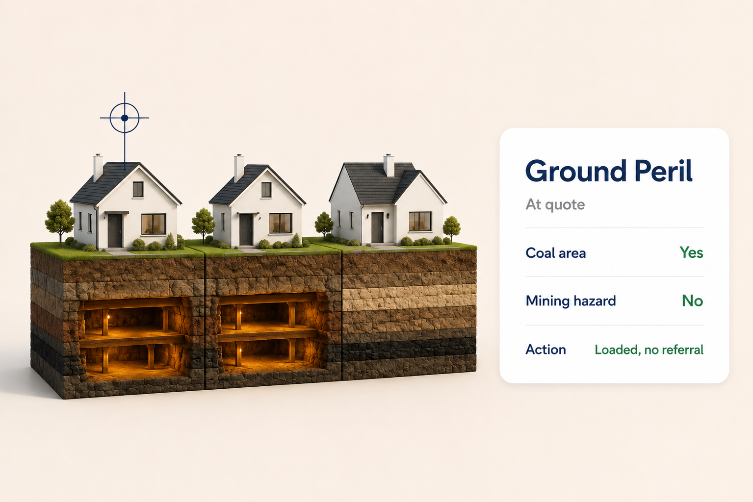
A coordinate answers what the customer cannot. Resolve the location and the screener checks it against the coal area defined by the Mining Remediation Authority, formerly the Coal Authority, and against non-coal mining hazard data, returning a per-location flag. That check costs a moment and happens inside the quote, which is precisely where a geographic peril should be assessed rather than after binding.
Screening at quote, not at referral
The value is in the placement. A manual referral is expensive: it interrupts the flow, it needs a human to read a report, and it applies unevenly because it only fires when someone remembers to raise it. Screening at quote applies the same check to every risk, consistently, before the price is set. The cases that genuinely need underwriter attention still get it, but they arrive already flagged rather than discovered by chance.
| Location (illustrative) | Defined coal area | Non-coal mining | Action |
|---|---|---|---|
| Address A | Yes | No | Refer |
| Address B | No | Yes | Refer |
| Address C | No | No | Auto-rate |
The table is illustrative. What it captures is the routing logic: most locations clear both checks and can auto-rate, while the minority that flag are sent to a human with the reason attached. The screener does not decide the risk. It decides which risks a person needs to look at, and that alone removes a great deal of noise from the referral queue.
A flag is not a decline
It would be a mistake to treat a coal-area flag as a reason to refuse cover, and it is worth being plain about that. A location sitting within a defined coal area is a signal that the ground history warrants a closer look, not evidence that the property will move. Plenty of homes in former mining areas carry ordinary risk, and a screener that declined them all would be pricing geography rather than exposure.
The reframe is that a flag routes attention. It tells the underwriter where to spend the scarce resource of a manual review, and it tells the pricing team where subsidence exposure clusters across the book. Used that way, ground screening improves both the individual decision and the picture of aggregate peril, without turning a data point into a blanket exclusion.
The customer cannot tell you what is under the property. The coordinate can.
Screen the ground at quote, and refer only what a person needs to see.
Try the Ground peril screener → · propalt.ai
Ground hazard data is drawn from the Mining Remediation Authority, formerly the Coal Authority, and the Propalt intelligence layer. Figures shown are illustrative. This article is general information for insurance professionals.
Ground peril screener
Checks each location against the coal area defined by the Mining Remediation Authority and non-coal mining hazard data, returning a per-location flag so ground exposure is screened at quote rather than by manual referral.
🎯 Best used for
Screening subsidence and mining exposure at quote
🔌 Propalt APIs used
get_coal_area get_mining_area