Ground risk found on site is a delay; found beforehand it is a plan
Why the coal and mining question belongs at instruction, not at the caveat stage.
Propalt Team · For surveyors
A property sitting inside a coalfield or over historic workings changes how you approach the inspection and what you say in the report. The trouble is that the ground rarely announces itself. A tidy suburban semi can sit squarely within a coalfield development area defined by the Mining Remediation Authority, formerly the Coal Authority, and nothing at the kerb will tell you. If the first you hear of it is when a specialist search comes back, the finding has already become a delay rather than a decision you made early.
The obvious response is that a full mining report from the relevant authority is the document that carries the detail, and that is right. A screening check does not replace the formal search where one is warranted. What it does is tell you, at the point of instruction, whether ground risk is a live question for this address, so you commission and caveat deliberately instead of discovering the issue halfway through.
Three ground questions, one request
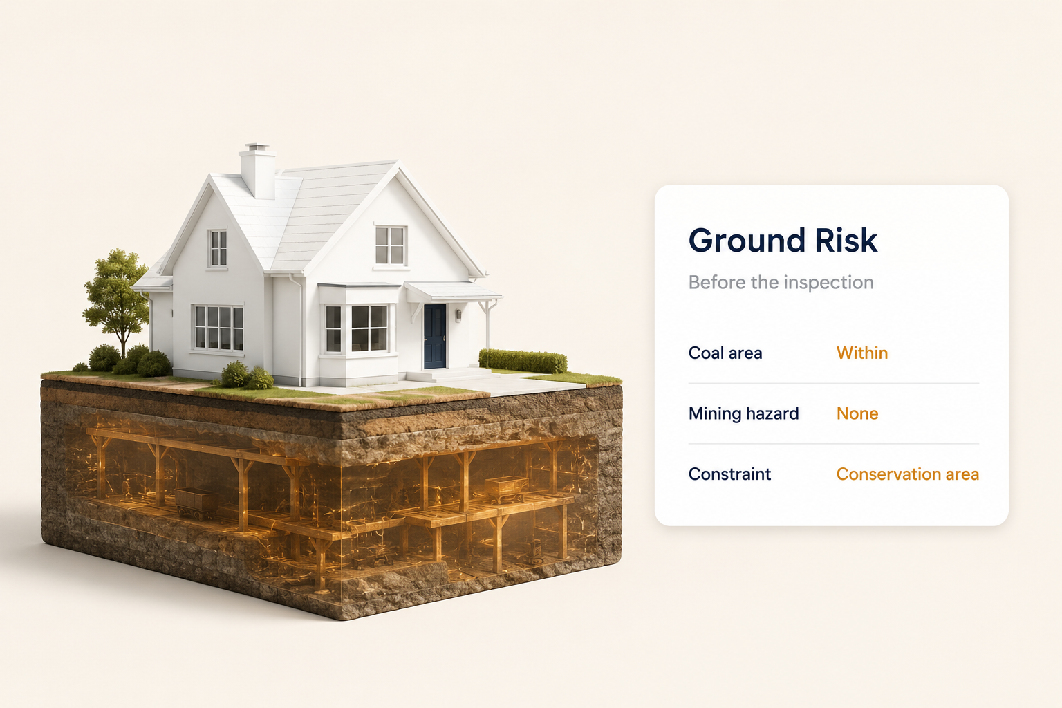
This skill returns three things for the address together: whether it falls within a defined coal area, whether there is a non-coal mining hazard recorded, and what active planning constraints apply. Taken as a set, those answers frame the ground and constraint picture before you have left the office. A property flagged inside a coalfield is a prompt to consider the appropriate search; a clear return on all three lets you proceed with a documented basis for doing so.
Bringing planning constraints into the same request matters more than it first appears. Conservation area status, tree preservation orders and similar designations shape both value and the advice you give, and finding them alongside the ground flags means one screening step covers the questions that most often surface late.
| Ground check (illustrative) | Result |
|---|---|
| Defined coal area | Within coalfield |
| Non-coal mining hazard | None recorded |
| Active planning constraints | Conservation area |
The results above are illustrative. The value is in having all three in front of you before the inspection, so the ground risk shapes your approach rather than surprising it.
The caveat you write on purpose
There is a real difference between a caveat added because you knew the risk and one added because you did not. Flagging a coalfield location at the outset lets you scope the instruction, advise the client on a further search and word the report from a position of knowledge. The risk is still declared, but it is declared as a considered judgement, which is exactly what a Red Book report is meant to carry.
The ground risk you flag at instruction is advice; the one you meet on site is a problem.
Screen the ground early, and the report reflects a decision rather than a discovery.
Flag the ground before you inspect it.
Try the Ground and mining risk check → · propalt.ai
Ground and constraint data is drawn from the Mining Remediation Authority, formerly the Coal Authority, planning constraint records and the Propalt intelligence layer. Results shown are illustrative. This article is general information for surveying professionals.
Ground and mining risk check
Returns Mining Remediation Authority coal area status, non-coal mining hazard and active planning constraints for an address in a single request.
🎯 Best used for
Screening ground and constraint risk at instruction
🔌 Propalt APIs used
get_coal_area get_mining_area get_planning_constraints